| 1. |
Accuracy is very important in survey work. Some points must be located to the nearest0.01 foot. Others may be located to the nearest whole foot horizontally and nearest 0.1 foot vertically. Accuracy is also sometimes described in terms of a ratio such as 1/100 (one in one hundred). |
|
|
This means the measurements should be accurate to within one foot in 100 feet, or 10 feet over a distance of 1,000 feet. |
|
|
.01 feet |
| 2. |
Survey measurement is __________ exact. Surveys are subject to error, so always check your work. It is better to take the time to do it right than having to find the time and money to correct mistakes. |
|
|
Never |
|
|
Always |
| 3. |
Before choosing personnel and selecting survey equipment, it is important to determine the accuracy required for the job. Cut and fill slopes and ditches, for example, __________ the same accuracy as drain inlets and finished pavement grades. |
|
|
Don’t require |
|
|
require |
| 4. |
Surveying and highway construction practice use horizontal distances rather than slope distances. This is necessary because the horizontal distance between two points ___________ even if the ground is disturbed. If the surveyor used slope distances, then the distance between objects and places would change every time the grade changed. |
|
|
Does not change |
|
|
Do change |
| 5. |
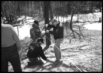
Taping downhill is preferable to uphill, because the rear point is held steady on the ground, while the other end is plumbed. In taping uphill the forward point is set while the other end (being plumbed) may be wavering somewhat.
 |
|
|
True |
|
|
False |
| 6. |
Stationing is used to establish a reference in highway and building construction. This base line or reference ___________ to locate features along and adjacent to the base line. |
|
|
Cannot be used |
|
|
Can then be used |
| 7. |
Vertical distances are measured from a point of known elevation called a benchmark. On local surveys the benchmark is usually set at an arbitrary elevation such as 100.0. On surveys for large projects the benchmark will likely be a federal, state or county benchmark. The US Coast Survey and Geodetic Survey have established a system of permanent benchmarks throughout the United States. These are made of concrete or steel with a brass disk on the top. The location and elevation are stamped on the disk. |
|
|
True |
|
|
False |
| 8. |
In Figure 12: Foresight. When the level rod is next placed on a new point as shown in figure below (Figure 12 in manual), we can then calculate the elevation of this point. The elevation is calculated by ___________ the foresight rod reading from the height of instrument. A foresight is the elevation reading of a point of unknown elevation. |
|
|
Subtracting |
|
|
Adding |
| 9. |
Figure 14, describes a measurement example of: |
|
|
Leveling |
|
|
Survey notes |
|
|
Alternate fix notes |
| 10. |
Figure 20, illustrates another example of determining the difference in elevation between points A and B by, |
|
|
A lone surveyor |
|
|
A two- people team surveyors. |
|
